Category
Difficulty
Intermediate
Duration
0:16
in hours
Distance
0.7
in km
Status
closed

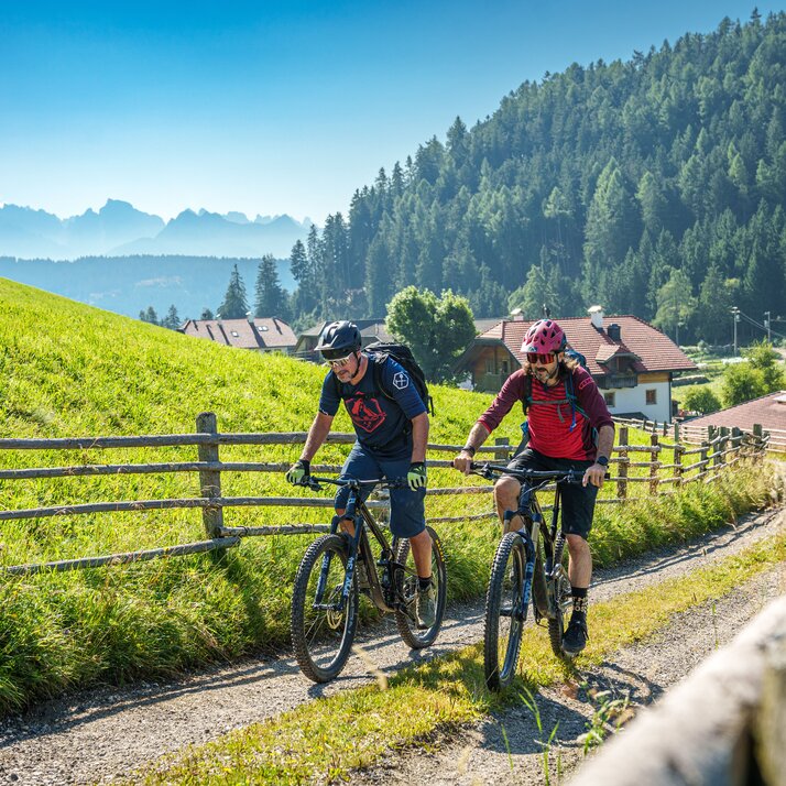
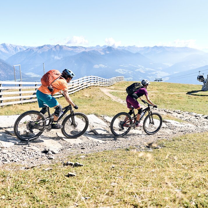
This line is a more technical and “rocky” version of the Furcia trail featuring sections littered with roots, boulders and carved berms. Suitable for experienced riders who are comfortable handling their bike throughout rough terrain.

Route data
Intermediate
Distance
0,7 km
Duration
16 min
Ascent
3 m
Decent
491 m
Highest point
2.249 m
Lowest point
1.761 m
You might be interested in
Discover related tours
Historical building with garden | © Hermann Maria Gasser
Intermediate
Add to favourites
Cultural discovery tour to the folklore museum in Dietenheim
Distance 8,5 km
Duration 29 min
Ascent 42 m
Decent 191 m
Pitzinger Alm mtb round trip
Distance 21,4 km
Duration 3 h 11 min
Ascent 933 m
Decent 933 m
Status
closed
Intermediate
Add to favourites
From Olang to the Lake Toblach
Distance 19,2 km
Duration 1 h 34 min
Ascent 300 m
Decent 87 m
Zwei Mountainbiker auf einem Trail im Kronplatz Bike Park. | © Harald Wisthaler
Intermediate
Add to favourites
Herrnsteig Trail
Distance 7,6 km
Duration 25 min
Ascent 13 m
Decent 1.247 m
Status
closed
Discover family highlights in Olang by bike
Distance 5,3 km
Duration 26 min
Ascent 70 m
Decent 80 m
Intermediate
Add to favourites
Olang/Valdaora
Gassl Trail
Distance 6,3 km
Duration 20 min
Ascent 2 m
Decent 883 m
Status
closed